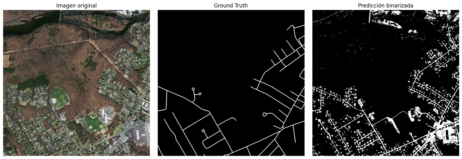
Road segmentation in high-resolution aerial imagery
Objective To develop a computational method that allows: Segmenting existing roads in an input image. That is, given an aerial image, provide a binary mask with road pixels set to 1 and the rest to 0. For a set of test images, provide a set of quantitative evaluation metrics for the segmentation appropriate for the target application, using the corresponding ground truth. Workflow Load the input images and each ground truth. ...