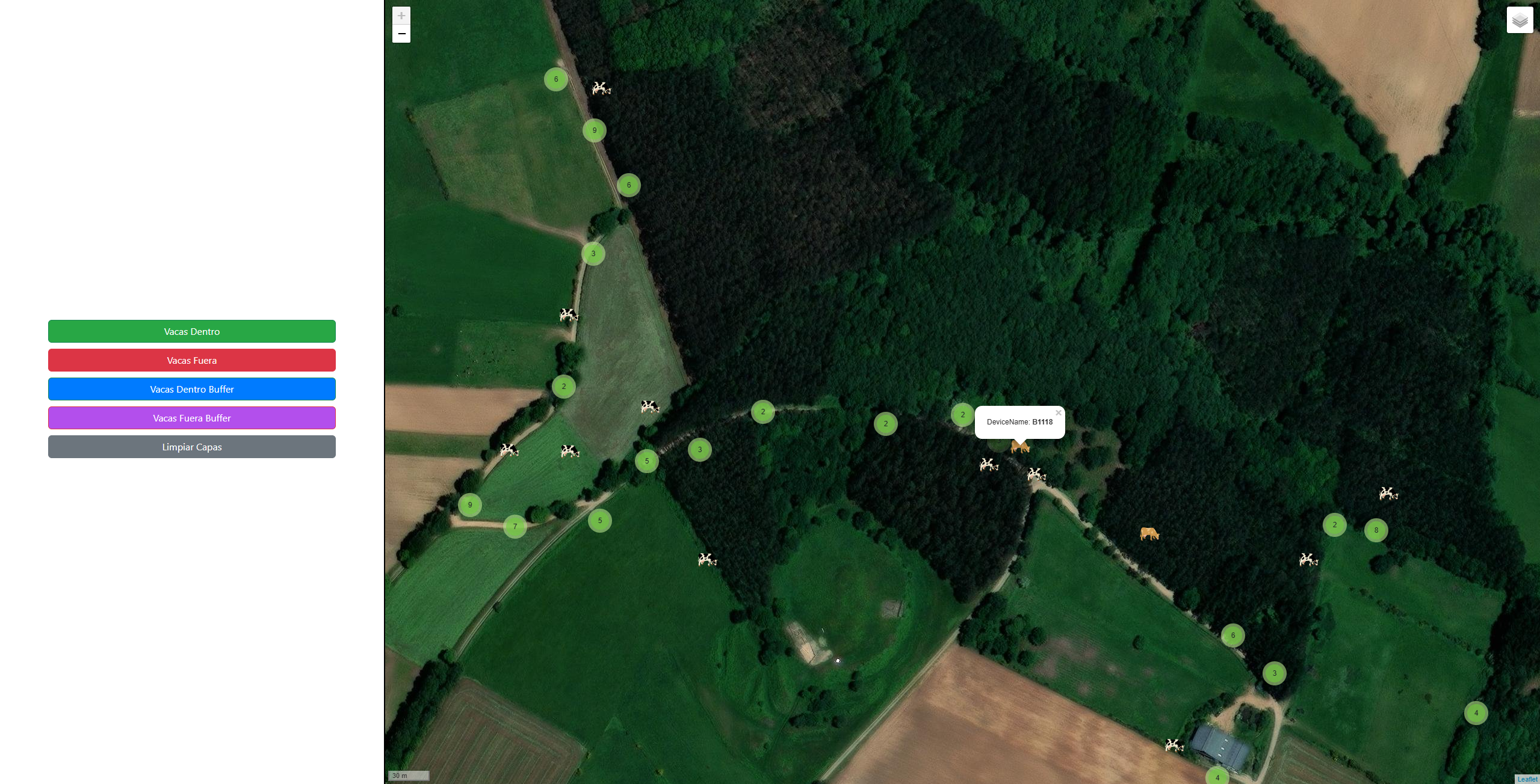
Geospatial Viewer for cattle management
Introduction In this project, the goal was to create an integral solution for the management and visualization of geospatial data. For this, it was necessary to develop a viewer capable of monitoring the position of livestock in relation to the boundaries of different farms, allowing for the dynamic filtering and visualization of data. System Architecture The system is divided into three fundamental layers that ensure an efficient data flow: 1. Preprocessing (Data Engineering) We use a Jupyter Notebooks environment (preprocess.ipynb) to clean and transform raw data (cows_pos.csv and fincas.json). Here we normalize coordinates, perform spatial joins, and prepare the dataset for consumption. ...